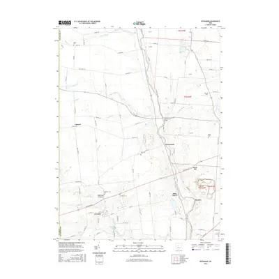
2016 Map of Ostrander
USGS Topo · Published 2016About this map
Ostrander anchors the southern portion of this landscape, situated near the headwaters of Mill Creek. The terrain is defined by the winding course of the Scioto River, which cuts through the eastern half of the area, crossed by the Bellefontaine Bridge near Warrensburg. This map reveals a high density of small rural burial grounds, such as Edinburg Cem and Newhouse Cem, which serve as vital markers for genealogical research in this part of Delaware County. The settlement pattern is characterized by scattered hamlets like Lybrand and Fairview Corners, linked by a grid of township highways and county roads. Numerous smaller waterways, including Bokes Creek and Blues Creek, drain the agricultural fields toward the Scioto, illustrating the hydrological network that shaped the development of local farmsteads and transport routes.
Find a feature on this map
94 named features on this map. Tap any name to fly to it.
Don’t see what you’re looking for? This feature index may not catch every label — zoom into the map to look around manually.
Map Details
Editions of this 2016 Ostrander Map
This is the sole edition of this map. No revisions or reprints were ever made.
Other maps of this area

1901 · Dublin
USGS Topo · 1:62,500

1903 · Dublin
USGS Topo · 1:62,500

1913 · Richwood
USGS Topo · 1:62,500

1915 · Richwood
USGS Topo · 1:62,500

1916 · Milford Center
USGS Topo · 1:62,500

1924 · Delaware
USGS Topo · 1:62,500

1925 · Delaware
USGS Topo · 1:62,500

1944 · Richwood
USGS Topo · 1:62,500

1944 · Milford Center
USGS Topo · 1:62,500

1944 · Delaware
USGS Topo · 1:62,500