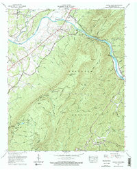
1967 Map of Oswald Dome
USGS Topo · Published 1970About this map
The Hiwassee River cuts a deep, winding path through the heart of the Cherokee National Forest in this late 1960s record of southeastern Tennessee. The river corridor is defined by the Louisville and Nashville Railroad, which snakes along the banks past Reliance and the Broad Shoals. This area of Polk County exhibits a landscape where steep ridges like Chilhowee Mountain and peaks such as Oswald Dome—topped with a lookout tower and radio facilities—dictate the pattern of human settlement.
Find a feature on this map
96 named features on this map. Tap any name to fly to it.
Don’t see what you’re looking for? This feature index may not catch every label — zoom into the map to look around manually.
Map Details
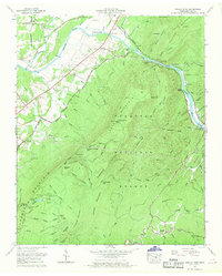
Editions of this 1967 Oswald Dome Map
2 editions found
Other maps of this area

1886 · Cleveland
USGS Topo · 1:125,000

1892 · Cleveland
USGS Topo · 1:125,000

1893 · Murphy
USGS Topo · 1:125,000

1895 · Cleveland
USGS Topo · 1:125,000

1901 · Cleveland
USGS Topo · 1:125,000

1914 · Murphy
USGS Topo · 1:125,000

1934 · Mecca
USGS Topo · 1:24,000

1935 · Tellico
USGS Topo · 1:48,000

1935 · Calhoun
USGS Topo · 1:24,000

1935 · Benton
USGS Topo · 1:24,000