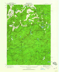
1916 Map of Oswegatchie
USGS Topo · Published 1960About this map
Benson Mines and the iron-rich hills of Fine and Clifton anchor this 1916 survey of the western Adirondack wilderness. The Carthage and Adirondack Ry cuts through the landscape, serving the industrial hubs at Oswegatchie and Star Lake. This era shows a transition in forest utilization, where logging camps like Pattons Camp and Bassetts Camp dot the interior, while the Browns Fall Power Plant and Maple Hill Dam signal the rise of hydroelectric power along the Oswegatchie River.
Find a feature on this map
99 named features on this map. Tap any name to fly to it.
Don’t see what you’re looking for? This feature index may not catch every label — zoom into the map to look around manually.
Map Details
Editions of this 1916 Oswegatchie Map
3 editions found
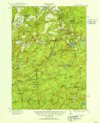
Other maps of this area

1903 · Big Moose
USGS Topo · 1:62,500

1911 · Lowville
USGS Topo · 1:62,500

1912 · Number Four
USGS Topo · 1:62,500

1913 · Lowville
USGS Topo · 1:62,500

1913 · Lake Bonaparte
USGS Topo · 1:62,500

1915 · Gouverneur
USGS Topo · 1:62,500

1915 · Number Four
USGS Topo · 1:62,500

1915 · Russell
USGS Topo · 1:62,500

1916 · Lake Bonaparte
USGS Topo · 1:62,500

1916 · Oswegatchie
USGS Topo · 1:62,500