
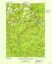
1916 Map of Oswegatchie
USGS Topo · Published 1916About this map
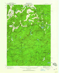
The Oswegatchie River and its numerous branches dominate this 1916 survey of the western Adirondack highlands. The landscape is defined by the industrial activity at Benson Mines and Jayville, connected by the Carthage and Adirondack Branch of the New York Central Railroad. While the topography is dominated by peaks like Blue Mtn and Vrooman Ridge, the presence of numerous sporting and lumber camps such as Scullens Camp, Bassett Camp, and Humes Camp indicates a region balancing resource extraction with early 20th-century wilderness recreation. Settled nodes like Fine and Star Lake serve as anchors along the river system, while the Browns Fall Power Plant highlights the early harnessing of water power for regional industry.
Find a feature on this map
129 named features on this map. Tap any name to fly to it.
Don’t see what you’re looking for? This feature index may not catch every label — zoom into the map to look around manually.
Map Details
Editions of this 1916 Oswegatchie Map
3 editions found
Other maps of this area

1903 · Big Moose
USGS Topo · 1:62,500

1911 · Lowville
USGS Topo · 1:62,500

1912 · Number Four
USGS Topo · 1:62,500

1913 · Lowville
USGS Topo · 1:62,500

1913 · Lake Bonaparte
USGS Topo · 1:62,500

1915 · Gouverneur
USGS Topo · 1:62,500

1915 · Number Four
USGS Topo · 1:62,500

1915 · Russell
USGS Topo · 1:62,500

1916 · Lake Bonaparte
USGS Topo · 1:62,500

1918 · Russell
USGS Topo · 1:62,500