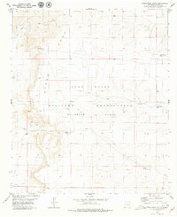
1979 Map of Otero Mesa South
USGS Topo · Published 1979About this map
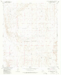
Otero Mesa dominates this landscape on the edge of the Fort Bliss Military Reservation (Mc Gregor Range) during the late 1970s. The map illustrates a high-desert environment where water management is the primary infrastructure, evidenced by a network of catchments such as the West Mesa Rim Tanks, Big Tank, and End of Line Tank. These vital water sources are scattered across a terrain defined by significant drainage systems, including Martin Canyon and Hay Meadow Canyon. The surveyor's notes from 1974-1975 document a region transitioning into intensive military use, yet still marked by the traditional geographic identifiers of the New Mexico rim country, such as the distant Mack Draw in the southern reaches of the quadrangle.
Find a feature on this map
12 named features on this map. Tap any name to fly to it.
Don’t see what you’re looking for? This feature index may not catch every label — zoom into the map to look around manually.
Map Details
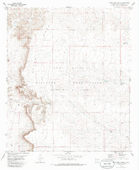
Editions of this 1979 Otero Mesa South Map
2 editions found
Other maps of this area

1940 · Bassett Lake
USGS Topo · 1:62,500

1943 · Pendejo Wash
USGS Topo · 1:62,500

1943 · Bassett Lake
USGS Topo · 1:62,500

1954 · Carlsbad
USGS Topo · 1:250,000

1958 · Carlsbad
USGS Topo · 1:250,000

1959 · Alamo Mountain
USGS Topo · 1:62,500
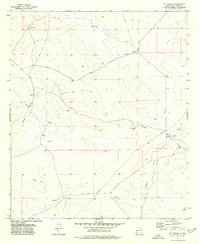
1975 · B T Ranch
USGS Topo · 1:24,000
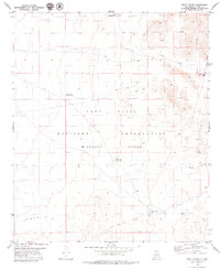
1979 · Mack Tanks
USGS Topo · 1:24,000

1979 · Crow Flats
USGS Topo · 1:100,000
1980 · Owl Tank Canyon West
USGS Topo · 1:24,000