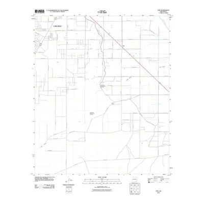
2010 Map of Otis
USGS Topo · Published 2010About this map
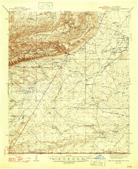
Carlsbad and its surrounding agricultural outskirts define this landscape in the early twenty-first century, where the desert environment is reshaped by extensive irrigation infrastructure. The Southern Canal and the Carlsbad Irr Dist Right Of Way weave through the terrain, supporting the community of Otis. This intricate network of water management is further highlighted by the Cass Draw Site Number One Dam and its counterpart, Cass Draw Site Number Two Dam, which manage seasonal runoff from the Cass Draw.
Find a feature on this map
40 named features on this map. Tap any name to fly to it.
Don’t see what you’re looking for? This feature index may not catch every label — zoom into the map to look around manually.
Map Details
Editions of this 2010 Otis Map
This is the sole edition of this map. No revisions or reprints were ever made.
Other maps of this area
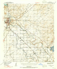
1939 · Carlsbad
USGS Topo · 1:62,500
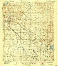
1943 · Carlsbad
USGS Topo · 1:62,500
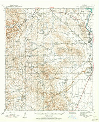
1943 · West Carlsbad
USGS Topo · 1:62,500
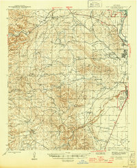
1945 · West Carlsbad
USGS Topo · 1:62,500
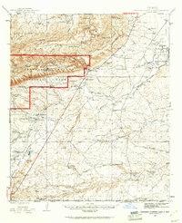
1945 · Carlsbad Caverns East
USGS Topo · 1:62,500
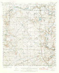
1945 · Malaga
USGS Topo · 1:62,500
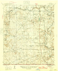
1946 · Malaga
USGS Topo · 1:62,500
1947 · Carlsbad Caverns East
USGS Topo · 1:62,500

1954 · Carlsbad
USGS Topo · 1:250,000

1958 · Carlsbad
USGS Topo · 1:250,000