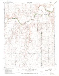
1969 Map of Otis NE
USGS Topo · Published 1971About this map
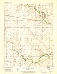
The Smoky Hill River meanders across the northern reaches of this Kansas landscape, defining a terrain shaped by the transition of prairie into structured agricultural townships. In the late 1960s, this region was organized into distinct districts including Freedom, Winterset, Pleasantdale, and Fairview, each marked by a grid of section lines and rural drainage systems like Duck Creek and Eagle Creek. The economy of the era is evident in the scattered Oil Wells and Gravel Pits that dot the hillsides, signifying the extraction of natural resources alongside traditional farming. For those tracing local heritage, the Pleasantdale Cem remains a central landmark of the community's history, situated amidst the wide-open spaces of the central plains.
Find a feature on this map
16 named features on this map. Tap any name to fly to it.
Don’t see what you’re looking for? This feature index may not catch every label — zoom into the map to look around manually.
Map Details
Editions of this 1969 Otis NE Map
This is the sole edition of this map. No revisions or reprints were ever made.
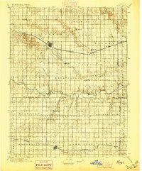
Other maps of this area

1896 · Russell
USGS Topo · 1:125,000
1896 · Hays
USGS Topo · 1:125,000

1955 · Great Bend
USGS Topo · 1:250,000

1957 · Great Bend
USGS Topo · 1:250,000

1958 · Great Bend
USGS Topo · 1:250,000
1961 · Walker
USGS Topo · 1:24,000
1961 · Russell SW
USGS Topo · 1:24,000
1961 · Victoria
USGS Topo · 1:24,000
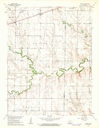
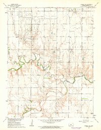
1965 · Otis
USGS Topo · 1:24,000
1966 · Bison
USGS Topo · 1:24,000