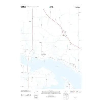
2013 Map of Otley
USGS Topo · Published 2013About this map
Lake Red Rock dominates the southern half of this landscape, its expansive waters and irregular shoreline defining the local geography. North of the lake, the small settlement of Otley sits along Highway 163, serving as a focal point for the surrounding agricultural lands. The terrain is deeply incised by numerous waterways, including Wildcat Cr, Thunder Cr, and Brush Cr, which flow toward the reservoir through a network of secondary roads and section lines.
Find a feature on this map
58 named features on this map. Tap any name to fly to it.
Don’t see what you’re looking for? This feature index may not catch every label — zoom into the map to look around manually.
Map Details
Editions of this 2013 Otley Map
This is the sole edition of this map. No revisions or reprints were ever made.
Other maps of this area

1909 · Knoxville
USGS Topo · 1:62,500

1910 · Pella
USGS Topo · 1:62,500

1912 · Knoxville
USGS Topo · 1:62,500

1912 · Pella
USGS Topo · 1:62,500

1954 · Des Moines
USGS Topo · 1:250,000

1956 · Des Moines
USGS Topo · 1:250,000

1957 · Des Moines
USGS Topo · 1:250,000

1965 · Prairie City
USGS Topo · 1:24,000

1965 · Knoxville NW
USGS Topo · 1:24,000

1965 · Monroe
USGS Topo · 1:24,000