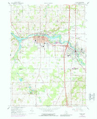
1967 Map of Otsego
USGS Topo · Published 1988About this map
The Kalamazoo River anchors this mid-century portrait of industrial and residential growth in the neighboring communities of Otsego and Plainwell. The landscape is defined by its transition from agricultural townships like Otsego, Gun Plain, and Cooper to the busy corridor along the Penn Central railroad. Notable landmarks include the Powerhouse Dam and the Otsego-Plainwell Municipal Airport, while the urban centers show established local institutions such as St Margaret Sch and City Hall.
Find a feature on this map
63 named features on this map. Tap any name to fly to it.
Don’t see what you’re looking for? This feature index may not catch every label — zoom into the map to look around manually.
Map Details
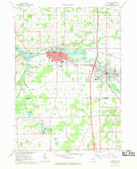
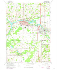
Editions of this 1967 Otsego Map
Other maps of this area

1916 · Kalamazoo
USGS Topo · 1:62,500

1918 · Kalamazoo
USGS Topo · 1:62,500

1943 · Kalamazoo
USGS Topo · 1:62,500

1946 · Gobles
USGS Topo · 1:62,500

1948 · Gobles
USGS Topo · 1:62,500

1949 · Gobles
USGS Topo · 1:62,500

1958 · Allegan
USGS Topo · 1:62,500

1958 · Grand Rapids
USGS Topo · 1:250,000

1959 · Wayland
USGS Topo · 1:62,500

1961 · Grand Rapids
USGS Topo · 1:250,000