
1943 Map of Otselic
USGS Topo · Published 1954About this map
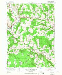
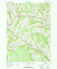
The Otselic River winds through the heart of this Central New York landscape, defining a valley where small rural settlements like Otselic and Otselic Center established themselves in the mid-20th century. This area, spanning the border of Madison and Chenango counties, shows a clear pattern of high-elevation plateaus separated by deep stream valleys, including Muller Brook and Texas Brook.
Find a feature on this map
37 named features on this map. Tap any name to fly to it.
Don’t see what you’re looking for? This feature index may not catch every label — zoom into the map to look around manually.
Map Details
Editions of this 1943 Otselic Map
3 editions found
Other maps of this area

1897 · Cazenovia
USGS Topo · 1:62,500

1899 · Cazenovia
USGS Topo · 1:62,500

1902 · Morrisville
USGS Topo · 1:62,500

1903 · Norwich
USGS Topo · 1:62,500

1904 · Pitcher
USGS Topo · 1:62,500

1943 · West Eaton
USGS Topo · 1:24,000

1943 · South Ostelic
USGS Topo · 1:24,000
1943 · Erieville
USGS Topo · 1:24,000

1943 · Norwich
USGS Topo · 1:24,000

1943 · East Pharsalia
USGS Topo · 1:24,000