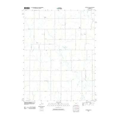
2009 Map of Ottawa NW
USGS Topo · Published 2009About this map
Appanoose Creek and its many tributaries, including East Appanoose Creek and Kelsey Creek, define the rolling drainage patterns of this rural Douglas County landscape. The road network follows a strict grid established by early section lines, yet many routes bear names that reflect broader American geography or early families, such as Alabama Ter, California Rd, and Georgia Rd. Local history and genealogy are centered on several small burial grounds scattered across the townships, notably Appanoose Cemetery in the north and Kaub Cemetery to the east. The land remains largely agricultural, with watercourses like Blue Creek and Lost Creek cutting through the fields, providing a look at the enduring rural character of the region as it transitioned into the early 21st century.
Find a feature on this map
32 named features on this map. Tap any name to fly to it.
Don’t see what you’re looking for? This feature index may not catch every label — zoom into the map to look around manually.
Map Details
Editions of this 2009 Ottawa NW Map
This is the sole edition of this map. No revisions or reprints were ever made.
Other maps of this area

1885 · Lawrence
USGS Topo · 1:125,000

1889 · Burlingame
USGS Topo · 1:125,000

1889 · Lawrence
USGS Topo · 1:125,000

1894 · Burlingame
USGS Topo · 1:125,000

1947 · Lawrence
USGS Topo · 1:250,000

1950 · Lawrence
USGS Topo · 1:250,000

1955 · Overbrook
USGS Topo · 1:24,000

1955 · Globe
USGS Topo · 1:24,000

1956 · Pomona
USGS Topo · 1:24,000

1956 · Ottawa North
USGS Topo · 1:24,000