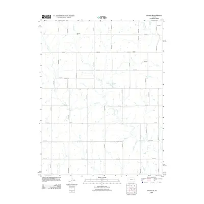
2012 Map of Ottawa NW
USGS Topo · Published 2012About this map
Appanoose Cr and its various branches, including the W Fork Eightmile Cr, define the drainage patterns of this rural Douglas County landscape. The area is characterized by a grid-based road network with many routes named after states, such as Arkansas Rd, Florida Rd, and Georgia Rd. This system reflects the agricultural division of the land, which is punctuated by small, locally significant sites important to genealogical research. Multiple burial grounds are scattered throughout the territory, including Appanoose Cem in the north and Pleasant Hill Cem to the east. Smaller tributaries like Kelsey Cr and Lost Cr wind through the southern sections, while several other cemeteries like Dean Cem and Kaub Cem provide specific points of interest for those tracing family history in this portion of Kansas.
Find a feature on this map
37 named features on this map. Tap any name to fly to it.
Don’t see what you’re looking for? This feature index may not catch every label — zoom into the map to look around manually.
Map Details
Editions of this 2012 Ottawa NW Map
This is the sole edition of this map. No revisions or reprints were ever made.
Other maps of this area

1885 · Lawrence
USGS Topo · 1:125,000

1889 · Burlingame
USGS Topo · 1:125,000

1889 · Lawrence
USGS Topo · 1:125,000

1894 · Burlingame
USGS Topo · 1:125,000

1947 · Lawrence
USGS Topo · 1:250,000

1950 · Lawrence
USGS Topo · 1:250,000

1955 · Overbrook
USGS Topo · 1:24,000

1955 · Globe
USGS Topo · 1:24,000

1956 · Pomona
USGS Topo · 1:24,000

1956 · Ottawa North
USGS Topo · 1:24,000