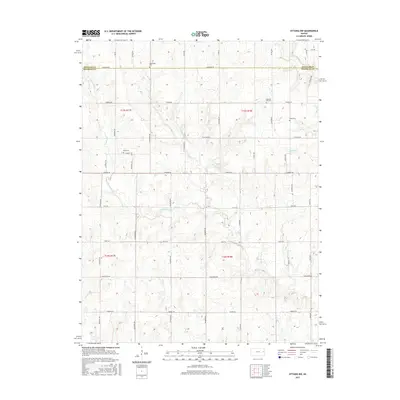
2015 Map of Ottawa NW
USGS Topo · Published 2015About this map
The Douglas Co Franklin Co line bisects this portion of the Kansas plains, where the land is defined by a dense network of winding creek beds and sections of rural township roads. The drainage of Appanoose Cr and its tributary E Appanoose Cr dominate the central landscape, while W Fork Eightmile Cr cuts through the northeast corner. These watercourses dictate the undulating topography that breaks up the gridded section lines.
Find a feature on this map
44 named features on this map. Tap any name to fly to it.
Don’t see what you’re looking for? This feature index may not catch every label — zoom into the map to look around manually.
Map Details
Editions of this 2015 Ottawa NW Map
This is the sole edition of this map. No revisions or reprints were ever made.
Other maps of this area

1885 · Lawrence
USGS Topo · 1:125,000

1889 · Burlingame
USGS Topo · 1:125,000

1889 · Lawrence
USGS Topo · 1:125,000

1894 · Burlingame
USGS Topo · 1:125,000

1947 · Lawrence
USGS Topo · 1:250,000

1950 · Lawrence
USGS Topo · 1:250,000

1955 · Overbrook
USGS Topo · 1:24,000

1955 · Globe
USGS Topo · 1:24,000

1956 · Pomona
USGS Topo · 1:24,000

1956 · Ottawa North
USGS Topo · 1:24,000