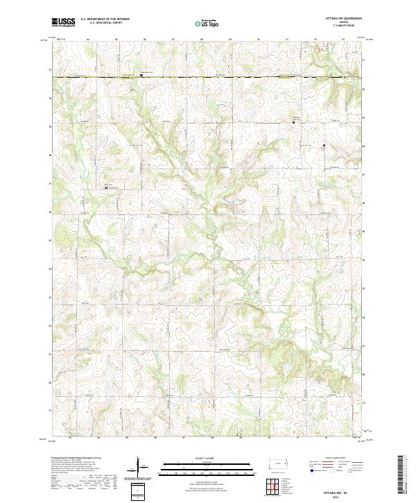
2022 Map of Ottawa NW
USGS Topo · Published 2022About this map
The rolling agricultural divide between Douglas and Franklin counties is defined by a dendritic network of streams that drain the prairie. The northern reaches are shaped by the Appanoose Creek and its tributary East Appanoose Creek, while the eastern edge is marked by the headwaters of West-Fork Eightmile Creek. These waterways dictated the placement of early road networks and rural homesteads throughout the township.
Find a feature on this map
44 named features on this map. Tap any name to fly to it.
Don’t see what you’re looking for? This feature index may not catch every label — zoom into the map to look around manually.
Map Details
Editions of this 2022 Ottawa NW Map
This is the sole edition of this map. No revisions or reprints were ever made.
Other maps of this area

1885 · Lawrence
USGS Topo · 1:125,000

1889 · Burlingame
USGS Topo · 1:125,000

1889 · Lawrence
USGS Topo · 1:125,000

1894 · Burlingame
USGS Topo · 1:125,000

1947 · Lawrence
USGS Topo · 1:250,000

1950 · Lawrence
USGS Topo · 1:250,000

1955 · Overbrook
USGS Topo · 1:24,000

1955 · Globe
USGS Topo · 1:24,000

1956 · Pomona
USGS Topo · 1:24,000

1956 · Ottawa North
USGS Topo · 1:24,000