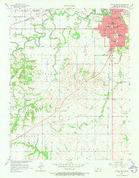
1956 Map of Ottawa South
USGS Topo · Published 1973About this map
The Marais Des Cygnes River winds through the northern portion of this map, shaping the development of Ottawa in the mid-1950s. The city is a hub of education and transit, anchored by Ottawa University and the extensive tracks of the Atchison Topeka and Santa Fe railroad. Beyond the urban center, the landscape transitions into the Chippewa Hills and Sand Hills, where rural life is marked by several neighborhood schools like Hood Sch and Valley View Sch, along with community gathering points such as the Rock Creek Community Hall.
Find a feature on this map
46 named features on this map. Tap any name to fly to it.
Don’t see what you’re looking for? This feature index may not catch every label — zoom into the map to look around manually.
Map Details
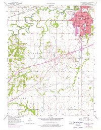
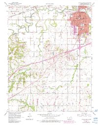
Editions of this 1956 Ottawa South Map
4 editions found

Other maps of this area

1885 · Garnett
USGS Topo · 1:125,000

1885 · Lawrence
USGS Topo · 1:125,000

1889 · Lawrence
USGS Topo · 1:125,000

1894 · Garnett
USGS Topo · 1:125,000

1947 · Lawrence
USGS Topo · 1:250,000

1950 · Lawrence
USGS Topo · 1:250,000

1956 · Pomona
USGS Topo · 1:24,000

1956 · Ottawa North
USGS Topo · 1:24,000

1956 · Le Loup
USGS Topo · 1:24,000

1956 · Williamsburg
USGS Topo · 1:24,000