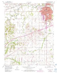
1956 Map of Ottawa South
USGS Topo · Published 1983About this map
Ottawa stands at the heart of this mid-century Kansas landscape, anchored by the campus of Ottawa University and a dense network of civic institutions ranging from Ransom Hospital to Forest Park. The Marais Des Cygnes River meanders across the northern territory, controlled by the Kiefer Dam, while the surrounding prairie is divided by the tracks of the Atchison Topeka and Santa Fe railroad. Outside the city limits, the landscape transitions into the Chippewa Hills and Sand Hills, where local life is defined by a constellation of rural schools and community centers like Wycoff Community Hall and Rock Creek Community Hall. A deep history of settlement is evident in the numerous burial grounds scattered across the townships, including the Antioch and St Johns cemeteries. The transition of the early 1980s is captured through photorevisions, showing the expansion of the Ottawa Municipal Airport and suburban development.
Find a feature on this map
57 named features on this map. Tap any name to fly to it.
Don’t see what you’re looking for? This feature index may not catch every label — zoom into the map to look around manually.
Map Details
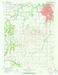
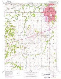
Editions of this 1956 Ottawa South Map
4 editions found

Other maps of this area

1885 · Garnett
USGS Topo · 1:125,000

1885 · Lawrence
USGS Topo · 1:125,000

1889 · Lawrence
USGS Topo · 1:125,000

1894 · Garnett
USGS Topo · 1:125,000

1947 · Lawrence
USGS Topo · 1:250,000

1950 · Lawrence
USGS Topo · 1:250,000

1956 · Pomona
USGS Topo · 1:24,000

1956 · Ottawa North
USGS Topo · 1:24,000

1956 · Le Loup
USGS Topo · 1:24,000

1956 · Williamsburg
USGS Topo · 1:24,000