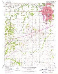
1956 Map of Ottawa South
USGS Topo · Published 1976About this map
The Marais Des Cygnes River winds through this landscape, defining the northern border of Ottawa and separating the city center from Forest Park. This mid-century survey reveals a well-developed regional hub where the Atchison Topeka and Santa Fe and Missouri Pacific railroads converge near B N Junction. Educational and civic foundations are prominent, ranging from Ottawa University and High Sch to specialized sites like Ransom Hospital and the Sewage Disposal plant.
Find a feature on this map
50 named features on this map. Tap any name to fly to it.
Don’t see what you’re looking for? This feature index may not catch every label — zoom into the map to look around manually.
Map Details
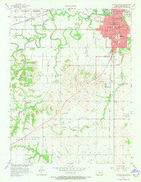
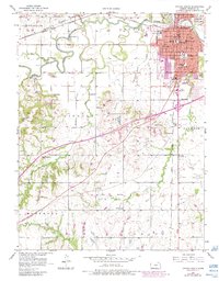
Editions of this 1956 Ottawa South Map
4 editions found

Other maps of this area

1885 · Garnett
USGS Topo · 1:125,000

1885 · Lawrence
USGS Topo · 1:125,000

1889 · Lawrence
USGS Topo · 1:125,000

1894 · Garnett
USGS Topo · 1:125,000

1947 · Lawrence
USGS Topo · 1:250,000

1950 · Lawrence
USGS Topo · 1:250,000

1956 · Pomona
USGS Topo · 1:24,000

1956 · Ottawa North
USGS Topo · 1:24,000

1956 · Le Loup
USGS Topo · 1:24,000

1956 · Williamsburg
USGS Topo · 1:24,000