
1951 Map of Otto
USGS Topo · Published 1953About this map
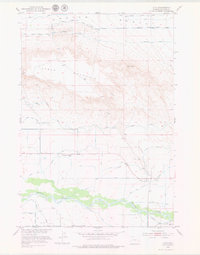
The Greybull River valley serves as the central artery for this 1951 topographic survey of Big Horn County, where a sophisticated network of irrigation sustains the high desert landscape. The town of Otto is the primary settlement, situated just north of the river near the confluence of the Wood and Burnett ditch system and the Farmers Canal. This intricate web of water management, including the Highline Ditch and the North Lateral Bench Canal, illustrates the region’s intensive transition to irrigated agriculture during the mid-century era.
Find a feature on this map
21 named features on this map. Tap any name to fly to it.
Don’t see what you’re looking for? This feature index may not catch every label — zoom into the map to look around manually.
Map Details
Editions of this 1951 Otto Map
2 editions found
Other maps of this area

1951 · Burlington
USGS Topo · 1:24,000

1951 · Sheep Mountain
USGS Topo · 1:24,000

1951 · Wardel Reservoir
USGS Topo · 1:24,000

1955 · Cody
USGS Topo · 1:250,000

1958 · Cody
USGS Topo · 1:250,000

1962 · Cody
USGS Topo · 1:250,000
1966 · Sheep Canyon
USGS Topo · 1:24,000
1966 · Gould Butte
USGS Topo · 1:24,000

1966 · Emblem SE
USGS Topo · 1:24,000
1966 · Jones Reservoir
USGS Topo · 1:24,000