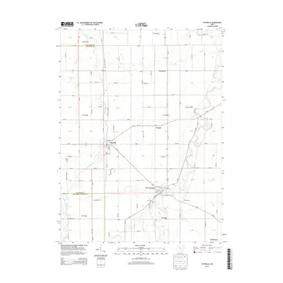
2013 Map of Ottoville
USGS Topo · Published 2013About this map
Ottoville and Fort Jennings anchor this portion of Putnam County, situated where the Little Auglaize River and the Auglaize River wind through the agricultural landscape of Northwest Ohio. The region's history is reflected in its numerous sacred sites, including Saint Marys Cem in Ottoville and Saint Josephs Cem in Fort Jennings. The township's rural character is defined by a rigid grid of roads like Blockberger Rd and Carpenter Rd that cross between county lines.
Find a feature on this map
52 named features on this map. Tap any name to fly to it.
Don’t see what you’re looking for? This feature index may not catch every label — zoom into the map to look around manually.
Map Details
Editions of this 2013 Ottoville Map
This is the sole edition of this map. No revisions or reprints were ever made.
Other maps of this area

1906 · Columbus Grove
USGS Topo · 1:62,500

1908 · Columbus Grove
USGS Topo · 1:62,500

1908 · Ottawa
USGS Topo · 1:62,500

1909 · Continental
USGS Topo · 1:62,500

1911 · Delphos
USGS Topo · 1:62,500

1944 · Delphos
USGS Topo · 1:62,500

1953 · Fort Wayne
USGS Topo · 1:250,000

1953 · Muncie
USGS Topo · 1:250,000

1956 · Muncie
USGS Topo · 1:250,000

1956 · Fort Wayne
USGS Topo · 1:250,000