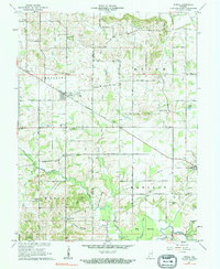
1961 Map of Otwell
USGS Topo · Published 1962About this map
Otwell serves as the central hub of this Southern Indiana landscape, situated at the intersection of the Base Line and Old Petersburg Road. The settlement pattern is defined by rural community life, marked by numerous local congregations such as Traylor Union Ch, Lemmon Ch, and St Johns Ch. To the south, the terrain shifts into the protected timberlands of Pike State Forest and the low-lying reaches of Big Bottom near the Patoka River. Genealogists will find a high density of family and community burial grounds, including Chapel Cem, Bethel Cem, and Hobbs Cem. The presence of the Otwell Holiness Camp and various sulfur springs, like White Sulphur Springs, suggests a region once noted for its camp meetings and mineral waters. Further east, Ireland and Ireland Lake sit along the boundary between Pike and Dubois counties.
Find a feature on this map
44 named features on this map. Tap any name to fly to it.
Don’t see what you’re looking for? This feature index may not catch every label — zoom into the map to look around manually.
Map Details
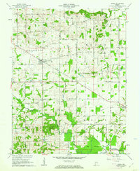
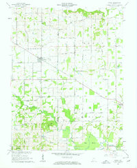
Editions of this 1961 Otwell Map
3 editions found
Other maps of this area

1902 · Ditney
USGS Topo · 1:125,000

1903 · Velpen
USGS Topo · 1:62,500

1944 · Glendale
USGS Topo · 1:24,000

1945 · Sandy Hook
USGS Topo · 1:24,000

1946 · Jasper
USGS Topo · 1:24,000

1954 · Huntingburg
USGS Topo · 1:24,000

1956 · Alfordsville
USGS Topo · 1:24,000

1956 · Vincennes
USGS Topo · 1:250,000

1957 · Vincennes
USGS Topo · 1:250,000

1958 · Vincennes
USGS Topo · 1:250,000