Loading...
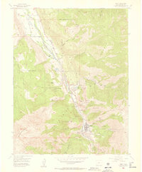
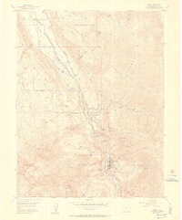
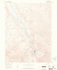
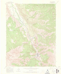
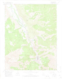
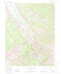
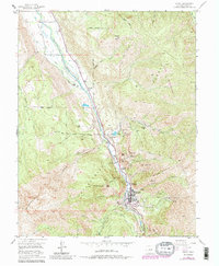
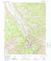
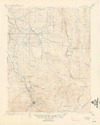
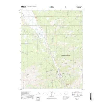
Loading map...1955 Map of Ouray
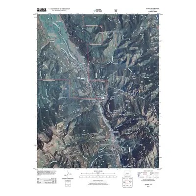
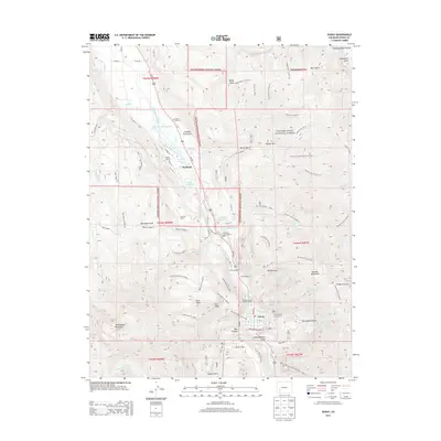
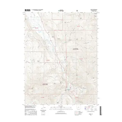
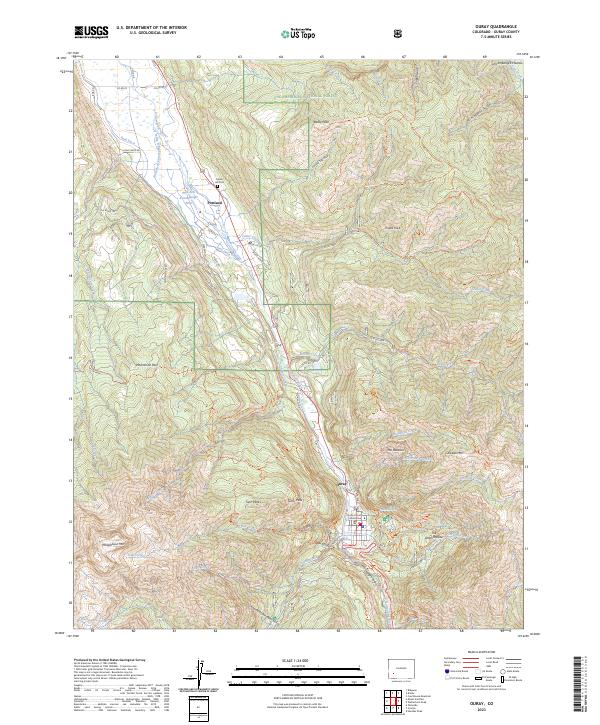
USGS Topo · Published 1957About this map
Mining operations and steep alpine terrain dominate the landscape around Ouray during the mid-1950s. The town sits at the floor of a dramatic valley carved by the Uncompahgre River, surrounded by peaks like Baldy Peak and Whitehouse Mountain. This era shows a transition from heavy extraction to the burgeoning tourism economy, evidenced by the Radium Springs Swimming Pool situated near the city boundary.
Find a feature on this map
58 named features on this map. Tap any name to fly to it.
Don’t see what you’re looking for? This feature index may not catch every label — zoom into the map to look around manually.
Map Details
Date Portrayed1955
Date Published1957
PublisherU.S. Geological Survey
Map TypeTopographic
Scale1:24,000
Physical Dimensions22.3 x 26.9 inches
Editions of this 1955 Ouray Map
9 editions found

Historical Maps of Ouray Through Time
8 maps found

Featured Locations
Source Details
SourceU.S. Geological Survey
CopyrightPublic Domain