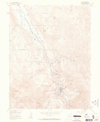
1955 Map of Ouray
USGS Topo · Published 1963About this map
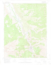
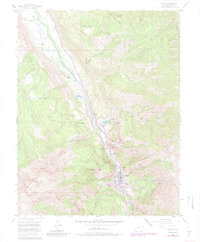
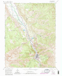
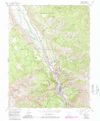
Ouray sits at the base of dramatic vertical relief in this mid-century survey, surrounded by a dense network of mining operations that define the local economy and geography. The town is flanked by the Uncompahgre Gorge to the south and the massive natural amphitheater of The Amphitheater to the east. Extensive mining activity is documented through labels like the American Nettle Mine, Wanakah Mine, and Syracuse Mine, with the American Lead and Zinc Mill positioned north of the main settlement.
Find a feature on this map
67 named features on this map. Tap any name to fly to it.
Don’t see what you’re looking for? This feature index may not catch every label — zoom into the map to look around manually.
Map Details
Editions of this 1955 Ouray Map
9 editions found

Other maps of this area

1897 · Telluride
USGS Topo · 1:62,500

1897 · Silverton
USGS Topo · 1:62,500

1901 · Silverton
USGS Topo · 1:62,500

1902 · Silverton
USGS Topo · 1:62,500

1902 · Ouray
USGS Topo · 1:62,500

1904 · Ouray
USGS Topo · 1:62,500

1904 · Telluride
USGS Topo · 1:62,500

1909 · Montrose
USGS Topo · 1:125,000

1911 · Montrose
USGS Topo · 1:125,000

1945 · Durango
USGS Topo · 1:250,000