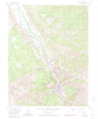
1955 Map of Ouray
USGS Topo · Published 1984About this map
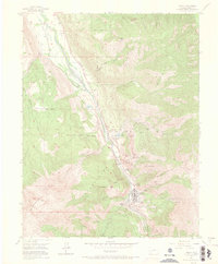
Mining operations and vertical topography dominate this 1955 survey of the San Juan Mountains, showing Ouray as it functioned mid-century before its 1980s updates. The settlement is hemmed in by massive peaks and the Uncompahgre Gorge, with industry clinging to the steep slopes of Cascade Mountain and Whitehouse Mtn. A high concentration of named claims and shafts, such as the American Lead and Zinc Mine and Syracuse Mine, reveals the extensive underground geography of the district. Near the Uncompahgre River, the transition from rail to road is visible along the Old Railroad Grade and U.S. 550, while genealogy markers like Cedar Hill Cemetery and local landmarks like the Swimming Pool provide a grounded look at the community's footprint. The landscape's scale is further defined by the Big Blue Wilderness boundary and the deep incision of Box Canyon.
Find a feature on this map
54 named features on this map. Tap any name to fly to it.
Don’t see what you’re looking for? This feature index may not catch every label — zoom into the map to look around manually.
Map Details
Editions of this 1955 Ouray Map
9 editions found

Other maps of this area

1897 · Telluride
USGS Topo · 1:62,500

1897 · Silverton
USGS Topo · 1:62,500

1901 · Silverton
USGS Topo · 1:62,500

1902 · Silverton
USGS Topo · 1:62,500

1902 · Ouray
USGS Topo · 1:62,500

1904 · Ouray
USGS Topo · 1:62,500

1904 · Telluride
USGS Topo · 1:62,500

1909 · Montrose
USGS Topo · 1:125,000

1911 · Montrose
USGS Topo · 1:125,000

1945 · Durango
USGS Topo · 1:250,000