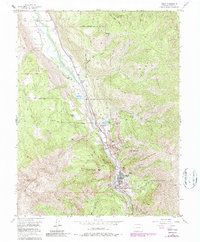
1955 Map of Ouray
USGS Topo · Published 1987About this map
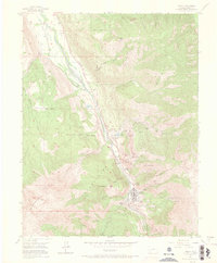
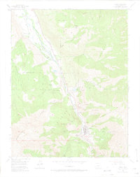
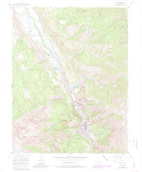
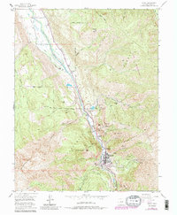
Ouray sits at the heart of a vertical landscape, defined by the deep Uncompahgre Gorge and the dramatic rock walls of The Amphitheater. This 1955 survey, with later photorevised updates, captures the high-altitude mining industry that shaped the San Juan Mountains. The map is densely populated with historical claims and workings, including the American Nettie Mine, Bachelor Mine, and Syracuse Mine, which cling to the steep slopes above the town. The narrow valley floor of the Uncompahgre River provides the only level ground for agriculture and transit, supporting local holdings like Dalpaz Ranch and Erikson Ranch. To the north, the settlement of Portland and the waters of Lake Lenore mark the transition toward the wider valley, while the heights are dominated by Whitehouse Mtn and Baldy Peak.
Find a feature on this map
53 named features on this map. Tap any name to fly to it.
Don’t see what you’re looking for? This feature index may not catch every label — zoom into the map to look around manually.
Map Details
Editions of this 1955 Ouray Map
9 editions found

Other maps of this area

1897 · Telluride
USGS Topo · 1:62,500

1897 · Silverton
USGS Topo · 1:62,500

1901 · Silverton
USGS Topo · 1:62,500

1902 · Silverton
USGS Topo · 1:62,500

1902 · Ouray
USGS Topo · 1:62,500

1904 · Ouray
USGS Topo · 1:62,500

1904 · Telluride
USGS Topo · 1:62,500

1909 · Montrose
USGS Topo · 1:125,000

1911 · Montrose
USGS Topo · 1:125,000

1945 · Durango
USGS Topo · 1:250,000