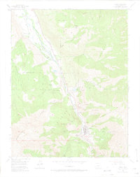
1955 Map of Ouray
USGS Topo · Published 1974About this map
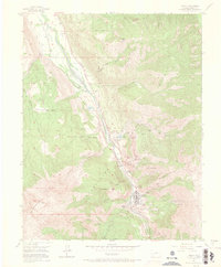
Ouray sits deep within a high-altitude mining district where the Uncompahgre River begins its descent through the Uncompahgre Gorge. This mid-century survey documents a landscape defined by an intensive hard-rock mining economy, evidenced by the high density of named claims such as the American Nettie Mine, Bachelor Mine, and Chief Ouray Mine. While the gold and silver booms of the previous century had transitioned, industrial infrastructure remains prominent, including the American-Lead and Zinc Mill and the Old Railroad Grade tracing the valley floor toward Portland. Local life is visible in the Cedar Hill Cemetery and the Radium Springs Swimming Pool, while the surrounding Uncompahgre National Forest is crossed by a network of named trails. The map detail highlights the steep vertical relief of The Amphitheater and The Blowout, alongside family operations like Dalpaz Ranch and Erickson Ranch.
Find a feature on this map
56 named features on this map. Tap any name to fly to it.
Don’t see what you’re looking for? This feature index may not catch every label — zoom into the map to look around manually.
Map Details
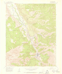
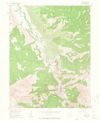
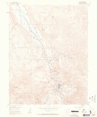
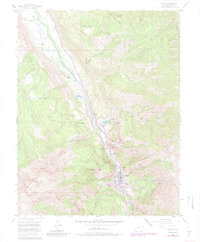
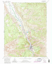
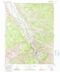
Editions of this 1955 Ouray Map
9 editions found

Other maps of this area

1897 · Telluride
USGS Topo · 1:62,500

1897 · Silverton
USGS Topo · 1:62,500

1901 · Silverton
USGS Topo · 1:62,500

1902 · Silverton
USGS Topo · 1:62,500

1902 · Ouray
USGS Topo · 1:62,500

1904 · Ouray
USGS Topo · 1:62,500

1904 · Telluride
USGS Topo · 1:62,500

1909 · Montrose
USGS Topo · 1:125,000

1911 · Montrose
USGS Topo · 1:125,000

1945 · Durango
USGS Topo · 1:250,000