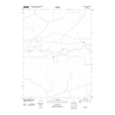
2011 Map of Ouray SE
USGS Topo · Published 2011About this map
The White River meanders through this arid landscape in Uintah County, creating a serpentine corridor of life amidst the dry uplands of eastern Utah. The terrain is defined by distinct geologic markers such as the prominent rise of Mollys Nipple and the drainage systems of Cottonwood Wash and Antelope Draw. Infrastructure in this part of the Uinta Basin consists primarily of long-established desert routes, including Watson Rd and Wyasket Bottom Rd, which trace the contours of the river valley. The map documents a sparsely populated but geographically complex region where the intersection of water and weather has carved out a rugged system of benches and draws typical of the Colorado Plateau.
Find a feature on this map
7 named features on this map. Tap any name to fly to it.
Don’t see what you’re looking for? This feature index may not catch every label — zoom into the map to look around manually.
Map Details
Editions of this 2011 Ouray SE Map
This is the sole edition of this map. No revisions or reprints were ever made.
Other maps of this area
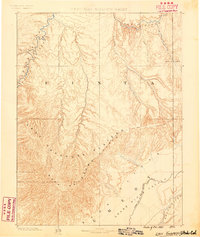
1885 · East Tavaputs
USGS Topo · 1:250,000
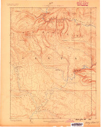
1885 · Ashley
USGS Topo · 1:250,000
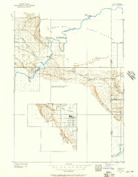
1907 · Jensen
USGS Topo · 1:125,000
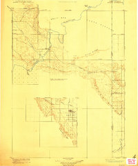
1910 · Jensen
USGS Topo · 1:125,000
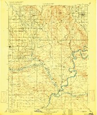
1917 · Vernal
USGS Topo · 1:125,000

1954 · Vernal
USGS Topo · 1:250,000

1956 · Grand Junction
USGS Topo · 1:250,000

1958 · Vernal
USGS Topo · 1:250,000

1959 · Grand Junction
USGS Topo · 1:250,000

1960 · Vernal
USGS Topo · 1:250,000