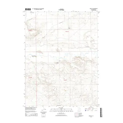
2014 Map of Ouray SE
USGS Topo · Published 2014About this map
White River meanders across this section of the Uinta Basin, defining a landscape shaped by significant alluvial features and high desert drainages. In the northern reaches, the flatlands of Wyasket Bottom and the expansive Wonsits Valley are connected by a network of local routes including S Wyasket Bottom Rd and Wonsits Valley Rd. These low-lying areas contrast sharply with the prominent terrain of the south, where the distinctively named Mollys Nipple overlooks a complex system of seasonal watercourses.
Find a feature on this map
12 named features on this map. Tap any name to fly to it.
Don’t see what you’re looking for? This feature index may not catch every label — zoom into the map to look around manually.
Map Details
Editions of this 2014 Ouray SE Map
This is the sole edition of this map. No revisions or reprints were ever made.
Other maps of this area
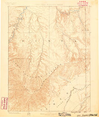
1885 · East Tavaputs
USGS Topo · 1:250,000
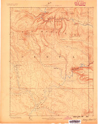
1885 · Ashley
USGS Topo · 1:250,000
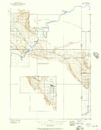
1907 · Jensen
USGS Topo · 1:125,000
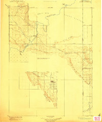
1910 · Jensen
USGS Topo · 1:125,000
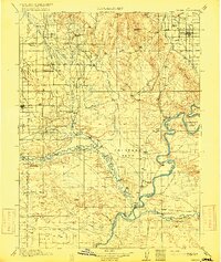
1917 · Vernal
USGS Topo · 1:125,000

1954 · Vernal
USGS Topo · 1:250,000

1956 · Grand Junction
USGS Topo · 1:250,000

1958 · Vernal
USGS Topo · 1:250,000

1959 · Grand Junction
USGS Topo · 1:250,000

1960 · Vernal
USGS Topo · 1:250,000