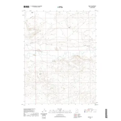
2020 Map of Ouray SE
USGS Topo · Published 2020About this map
The White River carves a winding path across this portion of Uintah County, creating distinct floodplain environments such as Wyasket Bottom. The landscape is defined by its drainage systems and topographic landmarks, including the deeply etched Cottonwood Wash and the prominent rise of Mollys Nipple. This area exhibits the typical basin-and-range characteristics of the region, where wide valleys like Wonsits Valley provide the primary corridors for movement. Access to this remote terrain is documented through a network of local routes such as Wonsits Rd and Chipeta Grove Rd, which connect the river flats to the higher desert draws. The map illustrates a landscape where seasonal water flow and geological features dictate the placement of local infrastructure and land use.
Find a feature on this map
9 named features on this map. Tap any name to fly to it.
Don’t see what you’re looking for? This feature index may not catch every label — zoom into the map to look around manually.
Map Details
Editions of this 2020 Ouray SE Map
This is the sole edition of this map. No revisions or reprints were ever made.
Other maps of this area
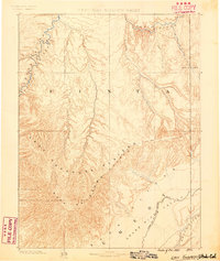
1885 · East Tavaputs
USGS Topo · 1:250,000
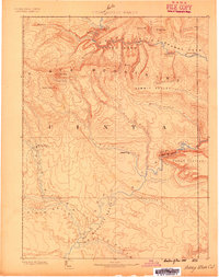
1885 · Ashley
USGS Topo · 1:250,000
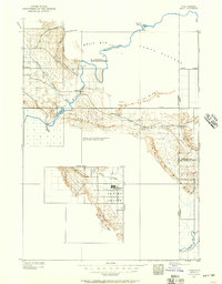
1907 · Jensen
USGS Topo · 1:125,000
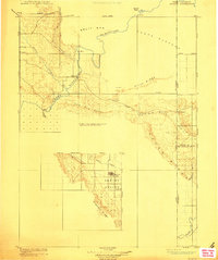
1910 · Jensen
USGS Topo · 1:125,000
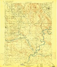
1917 · Vernal
USGS Topo · 1:125,000

1954 · Vernal
USGS Topo · 1:250,000

1956 · Grand Junction
USGS Topo · 1:250,000

1958 · Vernal
USGS Topo · 1:250,000

1959 · Grand Junction
USGS Topo · 1:250,000

1960 · Vernal
USGS Topo · 1:250,000