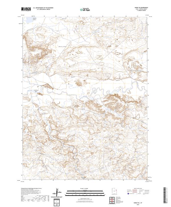
2023 Map of Ouray SE
USGS Topo · Published 2023About this map
Ouray National Wildlife Refuge dominates the northwestern corner of this Uintah County landscape, where the floodplain of the White River meets the arid basins of the Uinta Basin. The topography is defined by the winding course of the river and the carved drainages of Cottonwood Wash and Antelope Draw. This modern survey illustrates the intersection of conservation lands and energy-related infrastructure, with utility-focused corridors like Wonsits Rd and Chipeta-Grove Rd traversing the expansive Wonsits Valley. Local landmarks such as Mollys Nipple and the lowlands of Wyasket Bottom provide traditional navigational points in an area largely characterized by public land management and the seasonal movement of the river. The map details the complex drainage patterns and elevation changes that have historically influenced access to this remote portion of eastern Utah.
Find a feature on this map
10 named features on this map. Tap any name to fly to it.
Don’t see what you’re looking for? This feature index may not catch every label — zoom into the map to look around manually.
Map Details
Editions of this 2023 Ouray SE Map
This is the sole edition of this map. No revisions or reprints were ever made.
Other maps of this area

1885 · East Tavaputs
USGS Topo · 1:250,000

1885 · Ashley
USGS Topo · 1:250,000

1907 · Jensen
USGS Topo · 1:125,000

1910 · Jensen
USGS Topo · 1:125,000

1917 · Vernal
USGS Topo · 1:125,000

1954 · Vernal
USGS Topo · 1:250,000

1956 · Grand Junction
USGS Topo · 1:250,000

1958 · Vernal
USGS Topo · 1:250,000

1959 · Grand Junction
USGS Topo · 1:250,000

1960 · Vernal
USGS Topo · 1:250,000