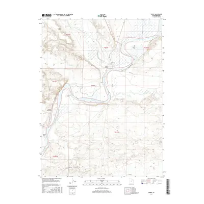
2017 Map of Ouray
USGS Topo · Published 2017About this map
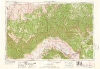
The confluence of three significant western waterways—the Green River, White River, and Duchesne River—forms the heart of this landscape at Ouray. This area, situated within the Uinta Valley, is defined by its complex riparian geography and expansive river bottomlands. Detailed topographic contours illustrate the transition from the low-lying Tia Juana Bottom and Old Charley Wash to elevated landforms like the Leland Bench to the northwest. The presence of seasonal drainages such as Willow Cr, Uteland Butte Wash, and Pariette Draw underscores the arid basin environment surrounding the river systems. Local transport is represented by several secondary routes, including Wyasket Bottom Rd and Wonsits Rd, which navigate the shifts in elevation between the fertile river valleys and the higher desert plateaus.
Find a feature on this map
22 named features on this map. Tap any name to fly to it.
Don’t see what you’re looking for? This feature index may not catch every label — zoom into the map to look around manually.
Map Details
Editions of this 2017 Ouray Map
This is the sole edition of this map. No revisions or reprints were ever made.
Other maps of this area
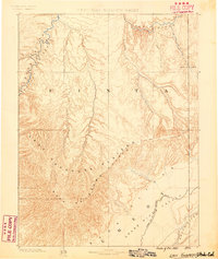
1885 · East Tavaputs
USGS Topo · 1:250,000

1885 · Ashley
USGS Topo · 1:250,000
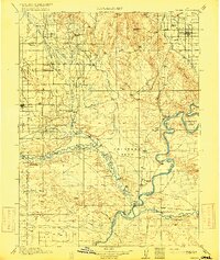
1917 · Vernal
USGS Topo · 1:125,000
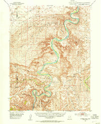
1953 · Nutters Hole
USGS Topo · 1:62,500

1954 · Vernal
USGS Topo · 1:250,000
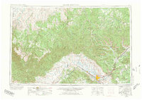
1956 · Grand Junction
USGS Topo · 1:250,000
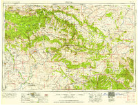
1958 · Vernal
USGS Topo · 1:250,000
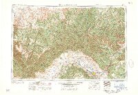
1959 · Grand Junction
USGS Topo · 1:250,000
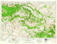
1960 · Vernal
USGS Topo · 1:250,000
1960 · Grand Junction
USGS Topo · 1:250,000