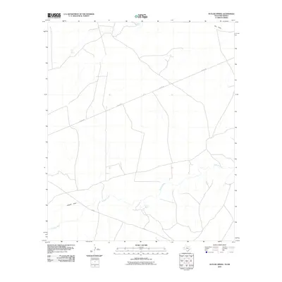
2010 Map of Outlaw Spring
USGS Topo · Published 2010About this map
The Delaware River meanders across this arid landscape, providing a critical water source in a region defined by intermittent drainages and isolated springs. The terrain is marked by seasonal washes such as Alligator Draw and Owl Draw, which channel runoff through the scrub. Early 21st-century infrastructure is visible in the form of FM 652 and a series of industrial access ways labeled as Pipeline Rd, which cut across the high desert floor.
Find a feature on this map
9 named features on this map. Tap any name to fly to it.
Don’t see what you’re looking for? This feature index may not catch every label — zoom into the map to look around manually.
Map Details
Editions of this 2010 Outlaw Spring Map
This is the sole edition of this map. No revisions or reprints were ever made.
Other maps of this area
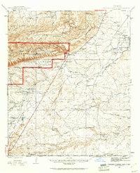
1945 · Carlsbad Caverns East
USGS Topo · 1:62,500
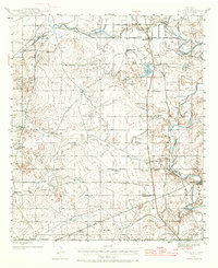
1945 · Malaga
USGS Topo · 1:62,500
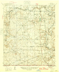
1946 · Malaga
USGS Topo · 1:62,500
1947 · Carlsbad Caverns East
USGS Topo · 1:62,500

1954 · Carlsbad
USGS Topo · 1:250,000

1954 · Van Horn
USGS Topo · 1:250,000

1958 · Van Horn
USGS Topo · 1:250,000

1958 · Carlsbad
USGS Topo · 1:250,000
1973 · Owl Hills
USGS Topo · 1:24,000
1973 · Screw Bean Draw West
USGS Topo · 1:24,000