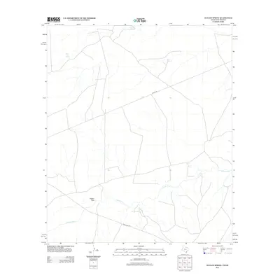
2013 Map of Outlaw Spring
USGS Topo · Published 2013About this map
Delaware River drainage patterns dominate this high-desert landscape in Culberson County, where the persistence of water sources defines human activity. The map traces the winding course of the river as it intersects with modern infrastructure, most notably Ranch Road 652 and the long stretch of Pipeline Rd. These corridors facilitate movement through an arid environment marked by specific, named water points like Outlaw Spring and Box Springs. The presence of these named springs and the seasonal Alligator Draw suggests a reliance on reliable hydrology for local ranching operations. Away from the primary roads, smaller features such as Fence Line Spring and Willow Spring provide discrete reference points for land management and local history within this trans-Pecos territory.
Find a feature on this map
8 named features on this map. Tap any name to fly to it.
Don’t see what you’re looking for? This feature index may not catch every label — zoom into the map to look around manually.
Map Details
Editions of this 2013 Outlaw Spring Map
This is the sole edition of this map. No revisions or reprints were ever made.
Other maps of this area
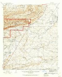
1945 · Carlsbad Caverns East
USGS Topo · 1:62,500
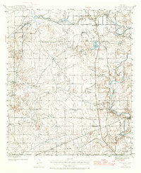
1945 · Malaga
USGS Topo · 1:62,500
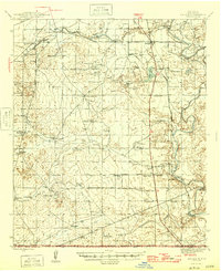
1946 · Malaga
USGS Topo · 1:62,500
1947 · Carlsbad Caverns East
USGS Topo · 1:62,500

1954 · Carlsbad
USGS Topo · 1:250,000

1954 · Van Horn
USGS Topo · 1:250,000

1958 · Van Horn
USGS Topo · 1:250,000

1958 · Carlsbad
USGS Topo · 1:250,000
1973 · Owl Hills
USGS Topo · 1:24,000
1973 · Screw Bean Draw West
USGS Topo · 1:24,000