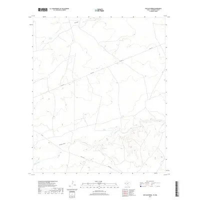
2019 Map of Outlaw Spring
USGS Topo · Published 2019About this map
Outlaw Spring and a series of vital water sources define this arid landscape in Culberson County, where the high desert meets the winding path of the Delaware River. The map reveals a reliance on natural hydrology, documented through scattered features like Fence Line Spring, Box Springs, and Willow Springs. These points of permanent water have historically dictated movement and land use across this corner of the Trans-Pecos.
Find a feature on this map
11 named features on this map. Tap any name to fly to it.
Don’t see what you’re looking for? This feature index may not catch every label — zoom into the map to look around manually.
Map Details
Editions of this 2019 Outlaw Spring Map
This is the sole edition of this map. No revisions or reprints were ever made.
Other maps of this area
1945 · Carlsbad Caverns East
USGS Topo · 1:62,500
1945 · Malaga
USGS Topo · 1:62,500
1946 · Malaga
USGS Topo · 1:62,500
1947 · Carlsbad Caverns East
USGS Topo · 1:62,500

1954 · Carlsbad
USGS Topo · 1:250,000

1954 · Van Horn
USGS Topo · 1:250,000

1958 · Van Horn
USGS Topo · 1:250,000

1958 · Carlsbad
USGS Topo · 1:250,000
1973 · Owl Hills
USGS Topo · 1:24,000
1973 · Screw Bean Draw West
USGS Topo · 1:24,000