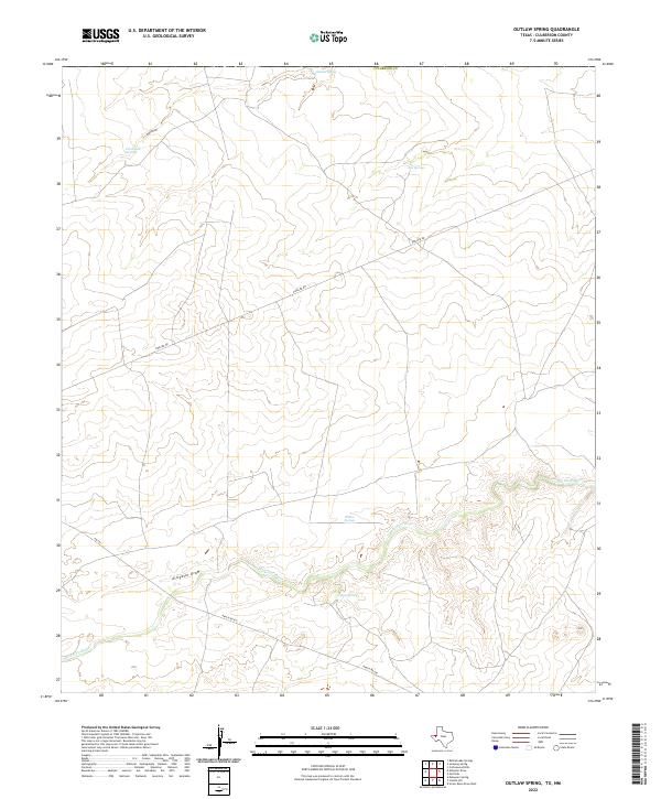
2022 Map of Outlaw Spring
USGS Topo · Published 2022About this map
Outlaw Spring and several other reliable water sources punctuate this arid stretch of Culberson County along the Texas-New Mexico border. The landscape is defined by the winding course of the Delaware River, which cuts through the southern portion of the quadrangle near Alligator Draw. This region's hydrology is central to its utility, with numerous named points such as Willow Springs, Box Springs, and Fence Line Spring indicating the critical importance of groundwater for cattle ranching and survival in the Trans-Pecos. Industrial infrastructure is also evident, primarily in the form of a prominent Pipeline Rd and Ranch Rd 652, which provide the primary access through the drainage basins of Owl Draw. These features reflect a classic West Texas pattern of sparse settlement focused on scattered springs and modern energy transport corridors.
Find a feature on this map
12 named features on this map. Tap any name to fly to it.
Don’t see what you’re looking for? This feature index may not catch every label — zoom into the map to look around manually.
Map Details
Editions of this 2022 Outlaw Spring Map
This is the sole edition of this map. No revisions or reprints were ever made.
Other maps of this area

1945 · Carlsbad Caverns East
USGS Topo · 1:62,500

1945 · Malaga
USGS Topo · 1:62,500

1946 · Malaga
USGS Topo · 1:62,500

1947 · Carlsbad Caverns East
USGS Topo · 1:62,500

1954 · Carlsbad
USGS Topo · 1:250,000

1954 · Van Horn
USGS Topo · 1:250,000

1958 · Van Horn
USGS Topo · 1:250,000

1958 · Carlsbad
USGS Topo · 1:250,000

1973 · Owl Hills
USGS Topo · 1:24,000

1973 · Screw Bean Draw West
USGS Topo · 1:24,000