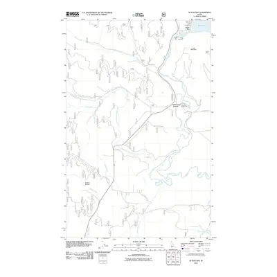
2011 Map of Outlet Bay
USGS Topo · Published 2011About this map
Priest River flows southward from the mouth of Priest Lake, serving as the central hydrological artery for this forested Bonner County landscape. The regulation of these waters is managed by the Outlet Dam (also labeled as the Priest Lake Dam) near Outlet Bay. This map captures the intersection of recreation and utility, showing established facilities like Outlet Campground and Canoe Camp alongside mountainous terrain.
Find a feature on this map
29 named features on this map. Tap any name to fly to it.
Don’t see what you’re looking for? This feature index may not catch every label — zoom into the map to look around manually.
Map Details
Editions of this 2011 Outlet Bay Map
This is the sole edition of this map. No revisions or reprints were ever made.
Other maps of this area

1901 · Sandpoint
USGS Topo · 1:125,000

1911 · Priest Lake
USGS Topo · 1:250,000

1911 · Sandpoint
USGS Topo · 1:125,000

1913 · Priest Lake
USGS Topo · 1:250,000

1934 · Metaline
USGS Topo · 1:125,000

1936 · Newport
USGS Topo · 1:96,000

1942 · Metaline
USGS Topo · 1:125,000

1942 · Newport
USGS Topo · 1:125,000

1958 · Sandpoint
USGS Topo · 1:250,000

1963 · Sandpoint
USGS Topo · 1:250,000