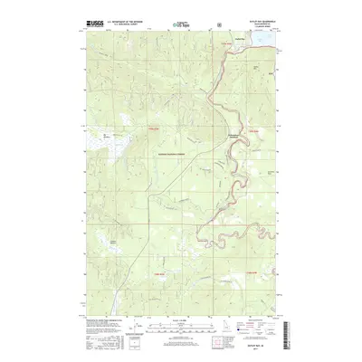
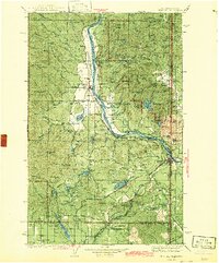
2017 Map of Outlet Bay
USGS Topo · Published 2017About this map
Outlet Bay and the winding course of the Priest River anchor this 2017 survey of northern Idaho’s timberlands. The landscape is defined by the transition from the southern tip of Priest Lake into a complex network of wetlands and drainage basins, including the Kaniksu Marsh and the Upper W Br Priest River. Settlement is concentrated at Dickensheet Junction and along Dickensheet Rd, while the surrounding Kaniksu National Forest is crisscrossed by forest service roads such as Binarch Mtn Rd and Squaw Valley Rd. The topography reveals the river's descent through Chipmunk Rapids and past Mission Falls, carving through a terrain of high points like Outlet Mtn and expansive clearings like Big Meadows and Gleason Meadow. This map illustrates the modern management of a historic wilderness area where early transport routes like Old Stage Rd meet contemporary forest development roads.
Find a feature on this map
39 named features on this map. Tap any name to fly to it.
Don’t see what you’re looking for? This feature index may not catch every label — zoom into the map to look around manually.
Map Details
Editions of this 2017 Outlet Bay Map
This is the sole edition of this map. No revisions or reprints were ever made.
Other maps of this area
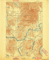
1901 · Sandpoint
USGS Topo · 1:125,000
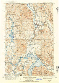
1911 · Priest Lake
USGS Topo · 1:250,000
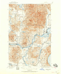
1911 · Sandpoint
USGS Topo · 1:125,000
1913 · Priest Lake
USGS Topo · 1:250,000
1934 · Metaline
USGS Topo · 1:125,000
1936 · Newport
USGS Topo · 1:96,000
1942 · Metaline
USGS Topo · 1:125,000
1942 · Newport
USGS Topo · 1:125,000

1958 · Sandpoint
USGS Topo · 1:250,000

1963 · Sandpoint
USGS Topo · 1:250,000