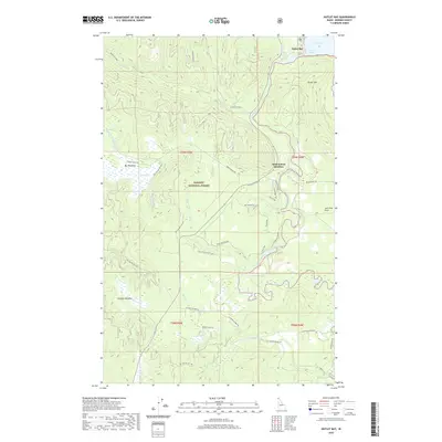
2020 Map of Outlet Bay
USGS Topo · Published 2020About this map
Priest River drains the southern end of Priest Lake at Outlet Bay, carving a path through the dense timber of the Kaniksu National Forest. This modern 2020 survey details the complex hydrography of the Idaho Panhandle, where the river meets a series of whitewater features including Chipmunk Rapids and Jack Pine Rapids. The landscape is defined by the transition from the high slopes of Outlet Mtn down to the low, saturated grounds of Kaniksu Marsh and Big Meadows. Scattered settlements and crossings like Dickensheet Junction and Gleason Meadow serve as anchors for a network of forest roads and historic routes, such as Old Stage Rd, which trace the region's long history of logging and transit between the river valleys and the mountain interior.
Find a feature on this map
42 named features on this map. Tap any name to fly to it.
Don’t see what you’re looking for? This feature index may not catch every label — zoom into the map to look around manually.
Map Details
Editions of this 2020 Outlet Bay Map
This is the sole edition of this map. No revisions or reprints were ever made.
Other maps of this area
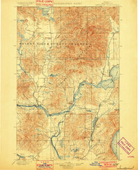
1901 · Sandpoint
USGS Topo · 1:125,000
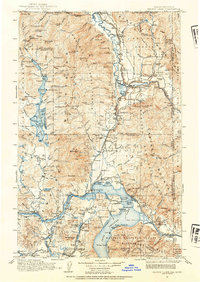
1911 · Priest Lake
USGS Topo · 1:250,000
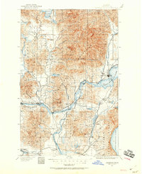
1911 · Sandpoint
USGS Topo · 1:125,000
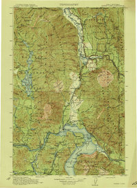
1913 · Priest Lake
USGS Topo · 1:250,000
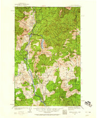
1934 · Metaline
USGS Topo · 1:125,000
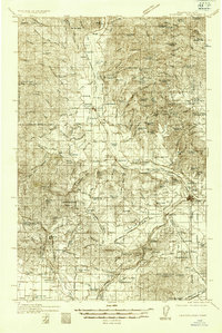
1936 · Newport
USGS Topo · 1:96,000
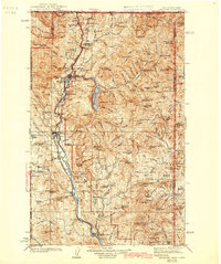
1942 · Metaline
USGS Topo · 1:125,000
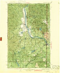
1942 · Newport
USGS Topo · 1:125,000
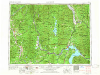
1958 · Sandpoint
USGS Topo · 1:250,000
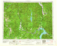
1963 · Sandpoint
USGS Topo · 1:250,000