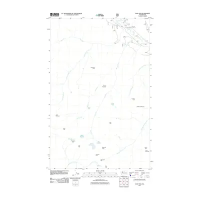
2011 Map of Oval Peak
USGS Topo · Published 2011About this map
Oval Peak and the high ridges of the North Cascades define this landscape within the Okanogan-Wenatchee National Forest. The high-altitude drainage systems are anchored by the Twisp River in the northeast, fed by numerous tributaries including War Creek and Eagle Creek. The map documents a complex network of alpine features and subalpine meadows, such as Buttermilk Meadow and the Horseshoe Basin, which are essential markers for backcountry navigation and high-country land management.
Find a feature on this map
32 named features on this map. Tap any name to fly to it.
Don’t see what you’re looking for? This feature index may not catch every label — zoom into the map to look around manually.
Map Details
Editions of this 2011 Oval Peak Map
This is the sole edition of this map. No revisions or reprints were ever made.
Other maps of this area
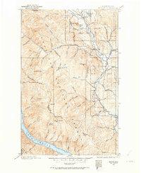
1899 · Methow
USGS Topo · 1:125,000
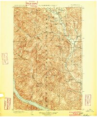
1901 · Methow
USGS Topo · 1:125,000
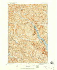
1902 · Stehekin
USGS Topo · 1:125,000
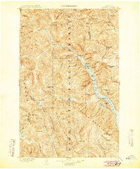
1904 · Stehekin
USGS Topo · 1:125,000
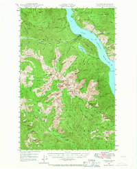
1944 · Lucerne
USGS Topo · 1:62,500
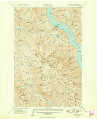
1949 · Lucerne
USGS Topo · 1:62,500

1955 · Concrete
USGS Topo · 1:250,000

1958 · Concrete
USGS Topo · 1:250,000

1962 · Concrete
USGS Topo · 1:250,000
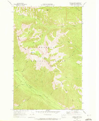
1969 · Midnight Mtn.
USGS Topo · 1:24,000