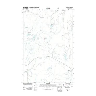
2011 Map of Ovando
USGS Topo · Published 2011About this map
Ovando sits at the southern edge of this western Montana landscape, serving as a focal point for the surrounding cattle country. In the early 21st century, the area remains defined by historic ranching operations such as the Two Creek Ranch and Monture Hereford Ranch, which occupy the broad valley floor. The map documents a sophisticated water management system of ditches and diversions, including the Dunham Creek Ditch and Barbour Ditch, essential for supporting the region's agricultural life.
Find a feature on this map
48 named features on this map. Tap any name to fly to it.
Don’t see what you’re looking for? This feature index may not catch every label — zoom into the map to look around manually.
Map Details
Editions of this 2011 Ovando Map
This is the sole edition of this map. No revisions or reprints were ever made.
Other maps of this area

1902 · Ovando
USGS Topo · 1:125,000

1905 · Ovando
USGS Topo · 1:125,000

1919 · Drummond
USGS Topo · 1:125,000

1921 · Drummond
USGS Topo · 1:125,000

1947 · Butte
USGS Topo · 1:250,000

1955 · Choteau
USGS Topo · 1:250,000

1957 · Choteau
USGS Topo · 1:250,000

1958 · Butte
USGS Topo · 1:250,000

1958 · Choteau
USGS Topo · 1:250,000

1960 · Butte
USGS Topo · 1:250,000