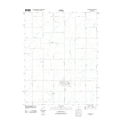
2012 Map of Overbrook
USGS Topo · Published 2012About this map
The town of Overbrook serves as the primary hub of this eastern Osage County landscape, centered around a detailed street grid including Maple St, Elm, and Cedar St. Community life is well-documented through local landmarks such as the Overbrook Fairgrounds, the Post Office, and the distinctive Overbrook Water Tower. To the south, the Hidden Springs Golf Course sits near the headwaters of Valley Brook, illustrating the town's modern recreational footprint.
Find a feature on this map
50 named features on this map. Tap any name to fly to it.
Don’t see what you’re looking for? This feature index may not catch every label — zoom into the map to look around manually.
Map Details
Editions of this 2012 Overbrook Map
This is the sole edition of this map. No revisions or reprints were ever made.
Other maps of this area

1885 · Lawrence
USGS Topo · 1:125,000

1889 · Burlingame
USGS Topo · 1:125,000

1889 · Lawrence
USGS Topo · 1:125,000

1894 · Burlingame
USGS Topo · 1:125,000

1947 · Lawrence
USGS Topo · 1:250,000

1950 · Lawrence
USGS Topo · 1:250,000
1955 · Clinton
USGS Topo · 1:24,000
1955 · Wakarusa
USGS Topo · 1:24,000

1955 · Overbrook
USGS Topo · 1:24,000

1955 · Carbondale
USGS Topo · 1:24,000