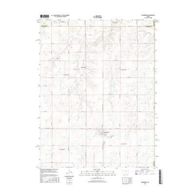
2015 Map of Overbrook
USGS Topo · Published 2015About this map
Overbrook serves as the primary hub of this landscape, situated at the junction of W 157th St and S Shawnee Heights Rd. The town's grid is clearly defined by local thoroughfares such as Market St and 1st St, with the Overbrook Cem located on the southern edge. To the north, the smaller settlement of Swissvale is positioned along a network of section-line roads, including E 125th St near Ridgeway Cem.
Find a feature on this map
51 named features on this map. Tap any name to fly to it.
Don’t see what you’re looking for? This feature index may not catch every label — zoom into the map to look around manually.
Map Details
Editions of this 2015 Overbrook Map
This is the sole edition of this map. No revisions or reprints were ever made.
Other maps of this area

1885 · Lawrence
USGS Topo · 1:125,000

1889 · Burlingame
USGS Topo · 1:125,000

1889 · Lawrence
USGS Topo · 1:125,000

1894 · Burlingame
USGS Topo · 1:125,000

1947 · Lawrence
USGS Topo · 1:250,000

1950 · Lawrence
USGS Topo · 1:250,000
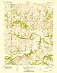
1955 · Clinton
USGS Topo · 1:24,000
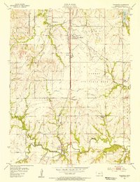
1955 · Wakarusa
USGS Topo · 1:24,000

1955 · Overbrook
USGS Topo · 1:24,000

1955 · Carbondale
USGS Topo · 1:24,000