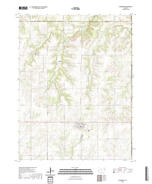
2022 Map of Overbrook
USGS Topo · Published 2022About this map
The boundary between Shawnee and Osage counties bisects this section of eastern Kansas, where the township grid meets a complex network of prairie streams. The settlement of Overbrook serves as a central hub, organized around a traditional street grid including Maple St, Ash St, and Locust St. To the north, the small community of Swissvale sits along E 129th St, illustrating the dispersed residential patterns common to the region's agricultural landscape.
Find a feature on this map
55 named features on this map. Tap any name to fly to it.
Don’t see what you’re looking for? This feature index may not catch every label — zoom into the map to look around manually.
Map Details
Editions of this 2022 Overbrook Map
This is the sole edition of this map. No revisions or reprints were ever made.
Other maps of this area

1885 · Lawrence
USGS Topo · 1:125,000

1889 · Burlingame
USGS Topo · 1:125,000

1889 · Lawrence
USGS Topo · 1:125,000

1894 · Burlingame
USGS Topo · 1:125,000

1947 · Lawrence
USGS Topo · 1:250,000

1950 · Lawrence
USGS Topo · 1:250,000
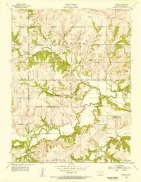
1955 · Clinton
USGS Topo · 1:24,000
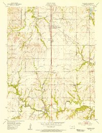
1955 · Wakarusa
USGS Topo · 1:24,000

1955 · Overbrook
USGS Topo · 1:24,000

1955 · Carbondale
USGS Topo · 1:24,000