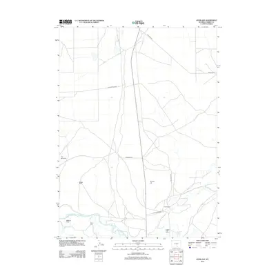
2012 Map of Overland
USGS Topo · Published 2012About this map
The N Platte River meanders through the southern portion of this Carbon County landscape, defining a network of riparian ecosystems and ranching infrastructure. Private landholdings like Byers Ranch and Eatons Ranch sit near the water, while the Saratoga Fish Hatchery represents a significant specialized site near the banks of Lake Cr. Irrigation is managed through features such as Pick Ditch, which supports the agricultural viability of the basin.
Find a feature on this map
16 named features on this map. Tap any name to fly to it.
Don’t see what you’re looking for? This feature index may not catch every label — zoom into the map to look around manually.
Map Details
Editions of this 2012 Overland Map
This is the sole edition of this map. No revisions or reprints were ever made.
Other maps of this area
1893 · Fort Steele
USGS Topo · 1:125,000
1939 · Saratoga
USGS Topo · 1:125,000

1954 · Rawlins
USGS Topo · 1:250,000
1955 · Overland
USGS Topo · 1:24,000
1955 · Overland Crossing
USGS Topo · 1:24,000
1955 · Coal Bank Basin
USGS Topo · 1:24,000
1955 · Oberg Ranch
USGS Topo · 1:24,000
1955 · Meads
USGS Topo · 1:24,000
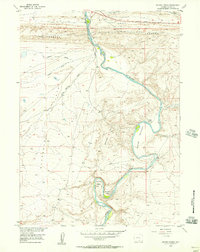
1955 · Savage Ranch
USGS Topo · 1:24,000
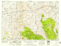
1958 · Rawlins
USGS Topo · 1:250,000