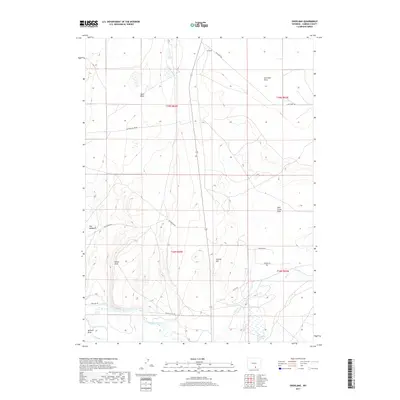
2017 Map of Overland
USGS Topo · Published 2017About this map
The North Platte River winds through the southern reaches of this Carbon County landscape, defining the hydrology of a region shaped by high basins and irrigation efforts. The presence of Pick Ditch and McPhail Draw reflects the critical management of water in this arid environment, supporting areas like Hay Meadows. Low-lying regions such as Sand Basin and Overland Flats are interspersed with prominent landmarks like Sheep Rock and Sixmile Hill. A network of rural routes, including Pick Bridge Rd, Pass Creek Rd, and Foote Access Rd, connects these remote land tracts. In the southeast, Lake Cr flows toward Lake Cr Lake near Lake Creek Flats, illustrating the scattered drainage patterns characteristic of the Wyoming high country.
Find a feature on this map
23 named features on this map. Tap any name to fly to it.
Don’t see what you’re looking for? This feature index may not catch every label — zoom into the map to look around manually.
Map Details
Editions of this 2017 Overland Map
This is the sole edition of this map. No revisions or reprints were ever made.
Other maps of this area
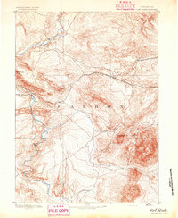
1893 · Fort Steele
USGS Topo · 1:125,000
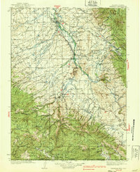
1939 · Saratoga
USGS Topo · 1:125,000

1954 · Rawlins
USGS Topo · 1:250,000
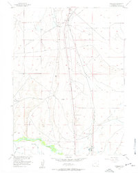
1955 · Overland
USGS Topo · 1:24,000
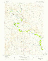
1955 · Overland Crossing
USGS Topo · 1:24,000
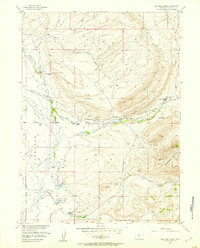
1955 · Coal Bank Basin
USGS Topo · 1:24,000
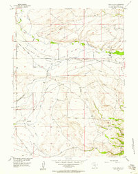
1955 · Oberg Ranch
USGS Topo · 1:24,000
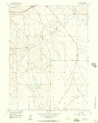
1955 · Meads
USGS Topo · 1:24,000
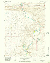
1955 · Savage Ranch
USGS Topo · 1:24,000
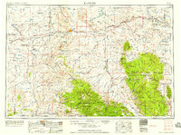
1958 · Rawlins
USGS Topo · 1:250,000