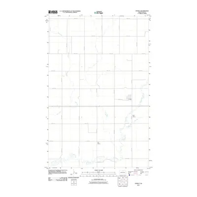
2011 Map of Overly
USGS Topo · Published 2011About this map
Overly sits at the heart of this North Dakota prairie landscape, where the local road network follows a strict sectional grid. The small settlement is anchored by Central Ave, which connects to the surrounding rural reaches of Bottineau County. The terrain is defined by the winding paths of several waterways, including the meandering Miller Creek, Willow Creek, and the smaller Mud Creek.
Find a feature on this map
22 named features on this map. Tap any name to fly to it.
Don’t see what you’re looking for? This feature index may not catch every label — zoom into the map to look around manually.
Map Details
Editions of this 2011 Overly Map
This is the sole edition of this map. No revisions or reprints were ever made.
Other maps of this area

1935 · Dunseith
USGS Topo · 1:48,000

1939 · Dunseith
USGS Topo · 1:62,500

1954 · Overly SE
USGS Topo · 1:24,000

1954 · Omemee
USGS Topo · 1:24,000

1954 · Barton
USGS Topo · 1:24,000

1954 · Willow City
USGS Topo · 1:24,000

1954 · Minot
USGS Topo · 1:250,000

1955 · Fonda
USGS Topo · 1:24,000

1955 · Lords Lake
USGS Topo · 1:24,000

1955 · Dunseith
USGS Topo · 1:24,000