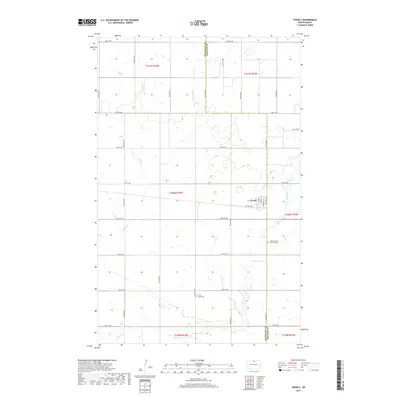
2017 Map of Overly
USGS Topo · Published 2017About this map
Overly sits at the intersection of a vast section-line road network in this 2017 survey, serving as a primary point of settlement on the boundary between Bottineau and Rolette counties. The landscape is defined by the winding paths of Miller Creek and Willow Creek, which meander through a terrain dotted with numerous small wetlands and glacial prairie potholes. The grid-like street plan of the town, featuring Central Ave and Main St, stands in sharp contrast to the irregular riparian corridors of the surrounding plains. Genealogists and local historians can locate specific burial sites at the Willow Creek Lutheran Cemetery and the Little Fargo Cemetery, which are positioned south of the main townsite. The map meticulously records the rural infrastructure of the era, from the various numbered section roads like 92nd St NE to the township and range divisions that define this North Dakota agricultural landscape.
Find a feature on this map
25 named features on this map. Tap any name to fly to it.
Don’t see what you’re looking for? This feature index may not catch every label — zoom into the map to look around manually.
Map Details
Editions of this 2017 Overly Map
This is the sole edition of this map. No revisions or reprints were ever made.
Other maps of this area
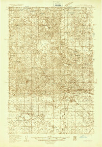
1935 · Dunseith
USGS Topo · 1:48,000
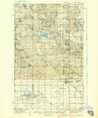
1939 · Dunseith
USGS Topo · 1:62,500
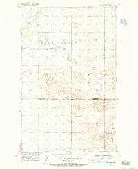
1954 · Overly SE
USGS Topo · 1:24,000
1954 · Omemee
USGS Topo · 1:24,000
1954 · Barton
USGS Topo · 1:24,000
1954 · Willow City
USGS Topo · 1:24,000
1954 · Minot
USGS Topo · 1:250,000
1955 · Fonda
USGS Topo · 1:24,000
1955 · Lords Lake
USGS Topo · 1:24,000
1955 · Dunseith
USGS Topo · 1:24,000