
1953 Map of Overton Beach
USGS Topo · Published 1955About this map
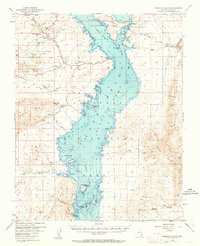
St. Thomas and Kaolin are recorded here just decades after the creation of the reservoir altered the Clark County landscape. This survey captures the submerged and shoreline geography of Lake Mead and its northern arms where the Virgin River and Muddy River meet. The map detail extends to the complex underwater contours, a result of sedimentation studies that track how the rising waters reshaped the valley.
Find a feature on this map
59 named features on this map. Tap any name to fly to it.
Don’t see what you’re looking for? This feature index may not catch every label — zoom into the map to look around manually.
Map Details
Editions of this 1953 Overton Beach Map
4 editions found
Other maps of this area

1886 · Saint Thomas
USGS Topo · 1:250,000

1893 · Saint Thomas
USGS Topo · 1:250,000

1926 · Bonelli
USGS Topo · 1:96,000

1926 · Boulder Canyon
USGS Topo · 1:96,000

1953 · Muddy Peak
USGS Topo · 1:62,500

1953 · Iceberg Canyon
USGS Topo · 1:62,500

1953 · Gold Butte
USGS Topo · 1:62,500

1953 · Hoover Dam
USGS Topo · 1:62,500

1953 · Virgin Basin
USGS Topo · 1:62,500

1954 · Las Vegas
USGS Topo · 1:250,000