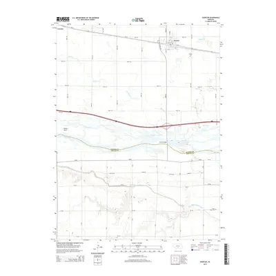
2014 Map of Overton
USGS Topo · Published 2014About this map
Overton serves as the focal point of this Platte River valley landscape, where the township's grid meets the diagonal path of Us-30 and the parallel railroad corridor. To the west lies the small settlement of Josselyn, situated along the same vital transportation artery that has long defined the region's development. The Platte River itself dominates the center of the sheet, braided into channels around Jeffreys Island and crossed by the Overton Bridge. This complex water system is further managed by the Phelps County Canal, which skirts the southern bluffs near the Platte Valley Cem. The map illustrates a highly organized agricultural landscape, defined by a rigid section-line road network including Road 444 and Road 751. Local history is anchored at the Overton Cem on the town's eastern edge, while natural drainages like Spring Cr and Buffalo Cr break the geometric regularity of the surrounding fields.
Find a feature on this map
47 named features on this map. Tap any name to fly to it.
Don’t see what you’re looking for? This feature index may not catch every label — zoom into the map to look around manually.
Map Details
Editions of this 2014 Overton Map
This is the sole edition of this map. No revisions or reprints were ever made.
Other maps of this area

1896 · Lexington
USGS Topo · 1:125,000

1896 · Kearney
USGS Topo · 1:125,000

1899 · Lexington
USGS Topo · 1:125,000

1955 · Grand Island
USGS Topo · 1:250,000

1957 · Grand Island
USGS Topo · 1:250,000

1958 · Grand Island
USGS Topo · 1:250,000

1961 · Elm Creek West
USGS Topo · 1:24,000

1961 · Miller SW
USGS Topo · 1:24,000

1962 · Lexington SE
USGS Topo · 1:24,000

1962 · Lexington East
USGS Topo · 1:24,000
Featured Places
- Overton, NE
- Northside Village Mobile Home Park, Overton
- Josselyn, NE
- Dawson County, NE
- Phelps County, NE