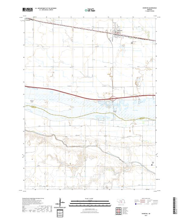
2021 Map of Overton
USGS Topo · Published 2021About this map
Overton serves as the primary hub of activity in this section of the Platte River valley, situated just north of the wide, braided channels of the Platte River. The town is organized around a grid of streets including 9th St and Lincoln St, with the Overton Cem located on its eastern outskirts. To the west lies the small settlement of Josselyn, highlighting the linear development pattern common along the region's transport corridors.
Find a feature on this map
45 named features on this map. Tap any name to fly to it.
Don’t see what you’re looking for? This feature index may not catch every label — zoom into the map to look around manually.
Map Details
Editions of this 2021 Overton Map
This is the sole edition of this map. No revisions or reprints were ever made.
Other maps of this area

1896 · Lexington
USGS Topo · 1:125,000

1896 · Kearney
USGS Topo · 1:125,000

1899 · Lexington
USGS Topo · 1:125,000

1955 · Grand Island
USGS Topo · 1:250,000

1957 · Grand Island
USGS Topo · 1:250,000

1958 · Grand Island
USGS Topo · 1:250,000

1961 · Elm Creek West
USGS Topo · 1:24,000

1961 · Miller SW
USGS Topo · 1:24,000

1962 · Lexington SE
USGS Topo · 1:24,000

1962 · Lexington East
USGS Topo · 1:24,000
Featured Places
- Overton, NE
- Josselyn, NE
- Northside Village Mobile Home Park, Overton
- Dawson County, NE
- Phelps County, NE