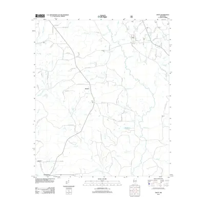
2012 Map of Ovett
USGS Topo · Published 2012About this map
Ovett serves as a central hub in this corner of Jones County, where a network of local roads such as Ovett Moselle Rd and Peachtree St connect the town to surrounding rural settlements. The landscape is defined by its intricate drainage patterns, including the winding course of the Bogue Homo and numerous smaller tributaries like Tiger Creek and Buck Cr. Historical sites of interest for researchers include several family and community burial grounds such as Beech Cem and Lancaster Cem, alongside the small crossroads of Whitfield.
Find a feature on this map
93 named features on this map. Tap any name to fly to it.
Don’t see what you’re looking for? This feature index may not catch every label — zoom into the map to look around manually.
Map Details
Editions of this 2012 Ovett Map
This is the sole edition of this map. No revisions or reprints were ever made.
Other maps of this area

1953 · Hattiesburg
USGS Topo · 1:250,000

1958 · Hattiesburg
USGS Topo · 1:250,000

1963 · Barrontown
USGS Topo · 1:24,000

1964 · Carterville
USGS Topo · 1:24,000

1964 · Rhodes
USGS Topo · 1:24,000

1964 · Ovett SE
USGS Topo · 1:24,000

1964 · Ovett
USGS Topo · 1:24,000

1964 · Richton
USGS Topo · 1:24,000

1964 · Ellisville
USGS Topo · 1:24,000

1964 · Strengthford
USGS Topo · 1:24,000